Some of my memories are starting to run together, but I guess day three at Yellowstone must have been the day when I, having let go of my urge to get an early start and pack as much as possible into each day, kind of swung the other way and had a hard time getting myself going at all in the morning. Emily was probably ready to go “do something” before I was on this morning; I was feeling lazy. When we eventually did get under way, though, we decided to make today the day that we would hike to Fairy Falls. (My original vision had been for that to happen on the same day that we went to the Old Faithful area, since they’re pretty close to each other—but we had gone a different way with things on the previous day. This was fine, though; all of these activities were in the same general area of the park.)
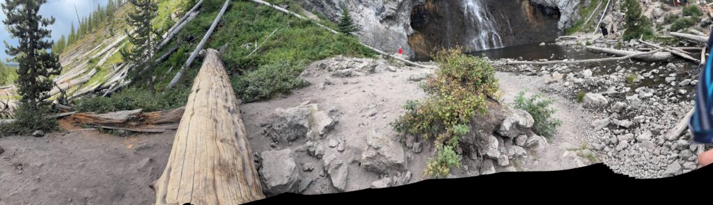
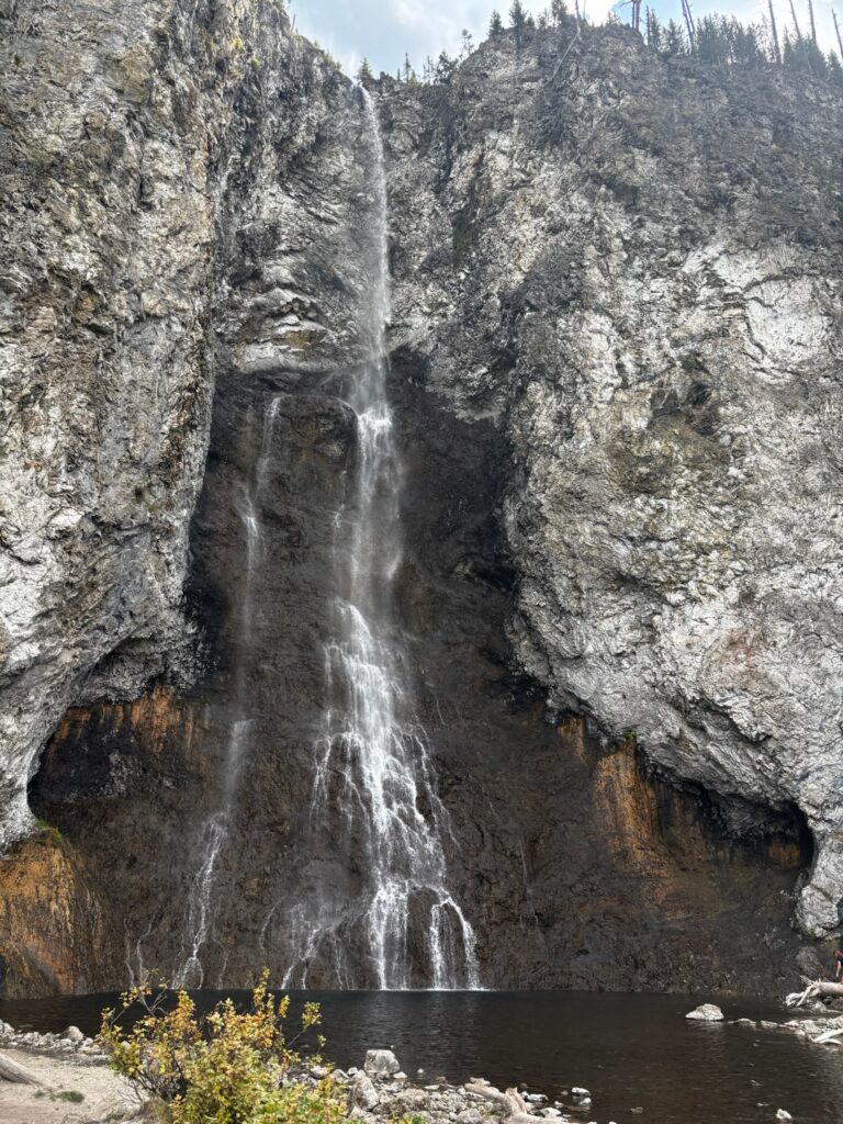
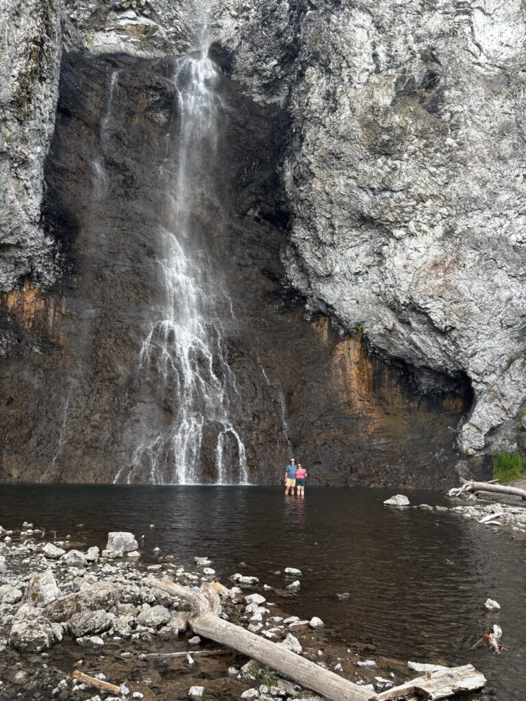
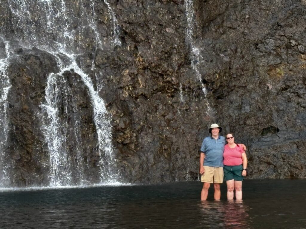
Fairy Falls is one (of several, admittedly) of my favorite spots at Yellowstone. I’ve written about it multiple times before, and while I’m not going to extensively recap, a brief summary would be: 1) Hiked to it (with Jen) via the shortest route in 2009, and both the hike and the falls made a huge impression on me (this played a big role in my discovery of how much I liked hiking out there), but I didn’t get to wade out into the pool beneath the falls. 2) Hiked there alone, via a much longer route, in 2016 (my first solo trip), and it was my favorite hike of that most awesome of trips. 3) The short route to Fairy Falls was the first leg of my epic two-day hike with overnight stay at a back country campsite in 2021. To that, happily, I can now add: 4) Hiked there (again via the short route) with Emily in 2025!
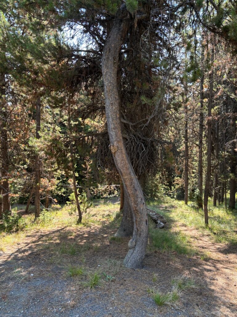
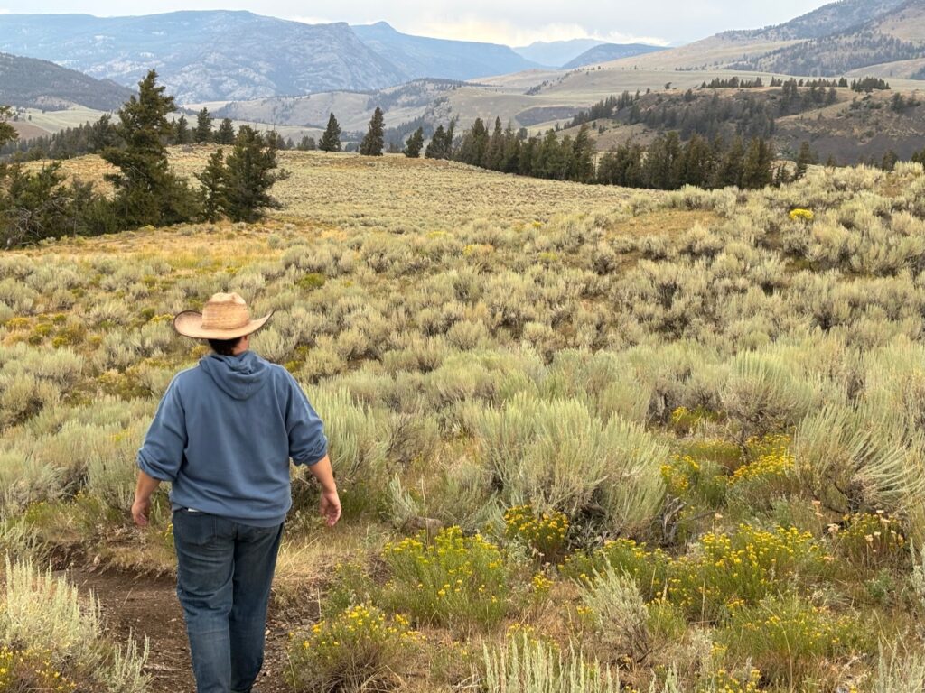
The hike itself is 4.8 miles “out and back” (so roughly 2.4 miles each way), with the trailhead being located sort of “behind” the Midway Geyser Basin area (whose boardwalk we had visited the previous day). Much as I had done for my overnight hike four years ago, we parked well to the south of the Midway Geyser Basin proper (in an “overflow” parking area at the side of the main loop road), then walked along the Firehole River, crossed it via the footbridge, and headed around “behind” the thermal features to a path that leads both to the scenic overlook trail for Grand Prismatic Spring (which we bypassed) and to the Fairy Falls trail. Once you reach the trail proper, it’s a delightful and easy hike on a wide, flat, sandy path surrounded by relatively young lodgepole pines—until right before you reach the falls, when the terrain gets suddenly more rugged (and there are lots of fallen trees and stuff).
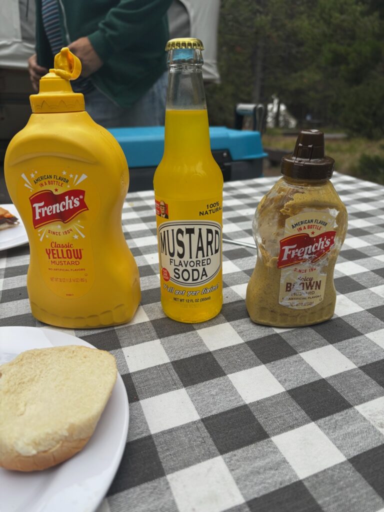
Because of our late start, Fairy Falls was pretty much all we did on day three. In the evening, back at the site, I again cooked us a campfire dinner (brats and burgers), and this meal was also when we got around to trying the weirdest of the soda flavors that we had bought at the candy store on the morning of the very first day of the trip.
Our campsite was right by the shore of Yellowstone Lake, but woods blocked the lake from actual view (though we could certainly hear it). However, there was a short trail behind the site that led right down to the water (we’re talking about, like, a 15-second walk). Because we had gotten to the campground after dark on arrival day, and had also been getting back on the late each day since, I didn’t get around to actually walking down to the lake until this evening. Emily went before I did (possibly in the morning, or maybe this evening while I was cooking; not sure), though, and she also decided that she wanted to get up super-early the next morning and try to catch the sunrise over the lake (since we were on the western shore). So, when her alarm went off in the morning on day four, she duly got herself up and moving (in the cold!), and headed down to the shore with a chair and a blanket. I followed a short time later. We both were a bit late to see the sunrise proper, but it was still beautiful; also, Emily ended up trying again the following morning (before we hit the road for the first leg of the trip home). Apparently, she only shared with me the attempts to capture it that she made during that second try; still, I’m presenting them here (a bit out of sequence):
After sitting down by the lake in the cold early morning for a while, I needed a bit more sleep, so I went back to bed. Emily also needed a snooze, but opted for the hammock. So, even though we had gotten up quite early, we still didn’t go anywhere until a bit later (though not nearly as late as on the previous day). This was to be our last day at Yellowstone, and what remained of my tentative pre-trip plans was a day of activities up in the northern part of the park (far from our campground). At first, I wasn’t 100% sure if I wanted (or if Emily would want) to spend the amount of time in the car today that those plans would entail, given that the next two days would be full-on road-tripping days…but in the end, we just decided to go for it. SO, we jumped in the car and headed up the loop road (east side this time—i.e., back up toward (and past) the Canyon area again, as opposed to the geyser basin areas over on the west side of the south loop where we’d spent time on the previous two days). As we passed through the Hayden Valley, we had a quintessential Yellowstone experience: the classic Bison Jam.
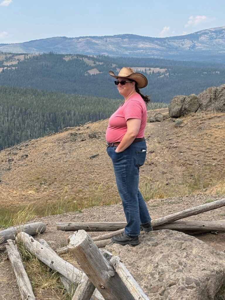
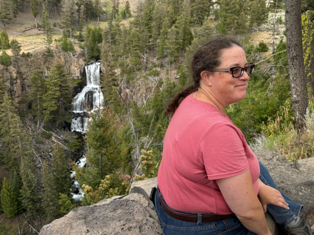
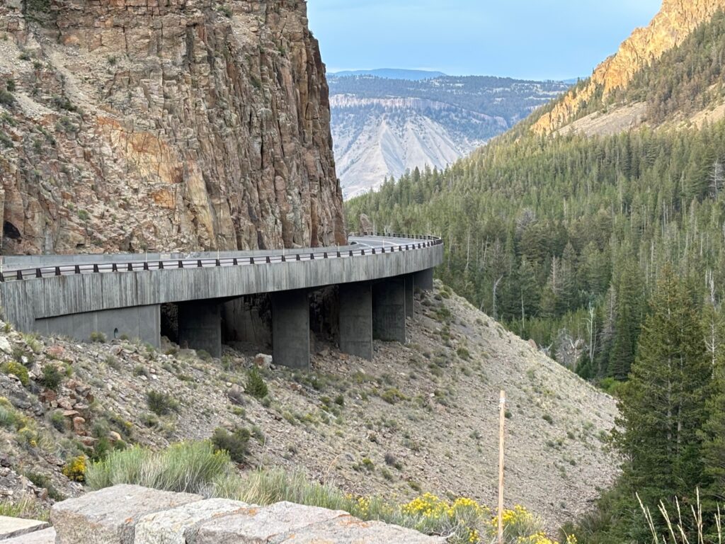
Then, continuing north past the Canyon area and onto the upper (northern) loop road, we drove through Dunraven Pass. I had sort of half-forgotten just how mountainous, switchbacky, and generally beautiful this part of the northern loop road (between Canyon and Tower-Roosevelt) is, partly because it had been closed for construction during my most recent previous trip to Yellowstone (2021). (That’s not much of an excuse, though, really; I’d driven this way numerous times on prior trips.) It is, in fact, the highest-elevation portion of either of the loop roads in the park. We paused at a scenic overlook spot, but only took one photo:
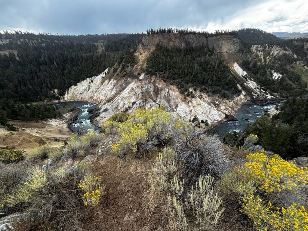
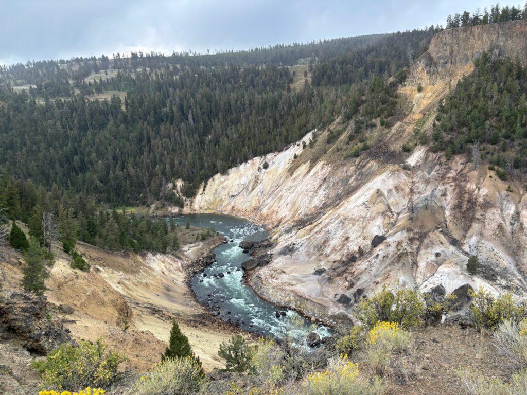
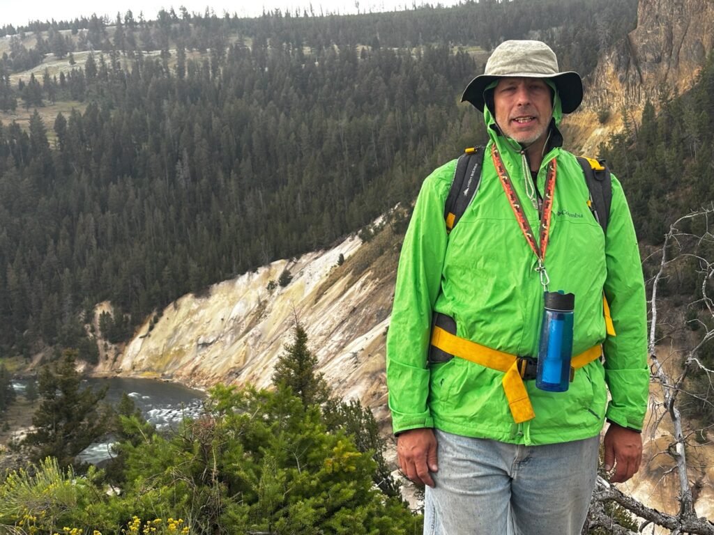
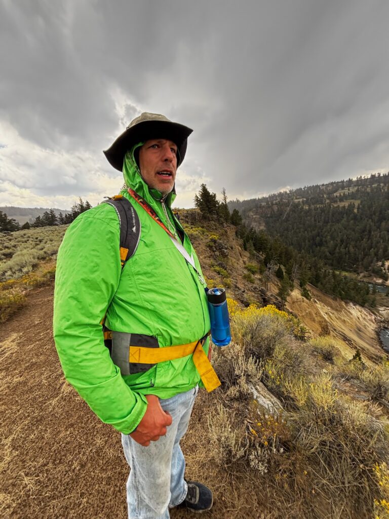
The first of the actual activities that I had planned for this day was a hike on the Yellowstone River Picnic Area Trail, whose trailhead is located at (appropriately) the Yellowstone River Picnic Area, just east of Tower Junction (on the road that leads to the northeast entrance). I believe that I had hiked some portion of this trail before, but my memory is mired in a bit of confusion on this point. In part, I was for sure confusing it (I eventually realized) with a totally different trail that Jen and I hiked on our second trip to Yellowstone, in 2014 (the trip that I remember the least well, probably largely because I didn’t write about it like I have about all my other trips out there). I still do think that I had also hiked on this trail before, but I don’t remember it at all vividly or clearly—so this hike felt more like doing something “new.” (This would, to some extent, be a recurring motif on this day.) We actually had a bit of a time finding the picnic area and trailhead (partly because there was a lot of construction in the area; evidently they’re building a new bridge over the Yellowstone River, which we saw), but we got there eventually. The drive had taken long enough, though, that it was time for lunch, so we picnicked at the picnic area before setting off on the trail.
Said trail begins with a short but steep climb up to a high ridge overlooking the Yellowstone River, now some ways downstream from the Grand Canyon thereof but still looking awesomely scenic. The trail then runs along said ridge for about two miles, after which we would have the options of either turning around and retracing our steps, or taking another trail that ours would meet up with, which (if we went left on it) would lead us back to a different trailhead a short ways up the northeast entrance road, from which we could then take a roadside path back to our trailhead and picnic area. (Alternatively, turning right at this T-fork would have meant committing to Specimen Ridge Trail, which my hiking book describes as “not for the faint-hearted or poorly conditioned; a long, strenuous late-season day trip with incredible scenery and an opportunity to use your route-finding skills. Maybe not for us.)
Out of all of the stuff that we did at Yellowstone on this trip, this felt, to me, the most like a real, all-out back country hike. I love Fairy Falls, but in the years since I first hiked to it in 2009, it seems to me that a lot of people have kind of “discovered” that spot (and the short easy hike to it), so it feels rather less like being “off in the wilderness” than it once did. On this hike, though, we barely saw anyone else. It was just Emily and me trekking through the wilderness and enjoying the view, and I loved it!
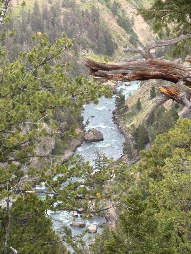
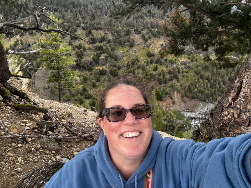
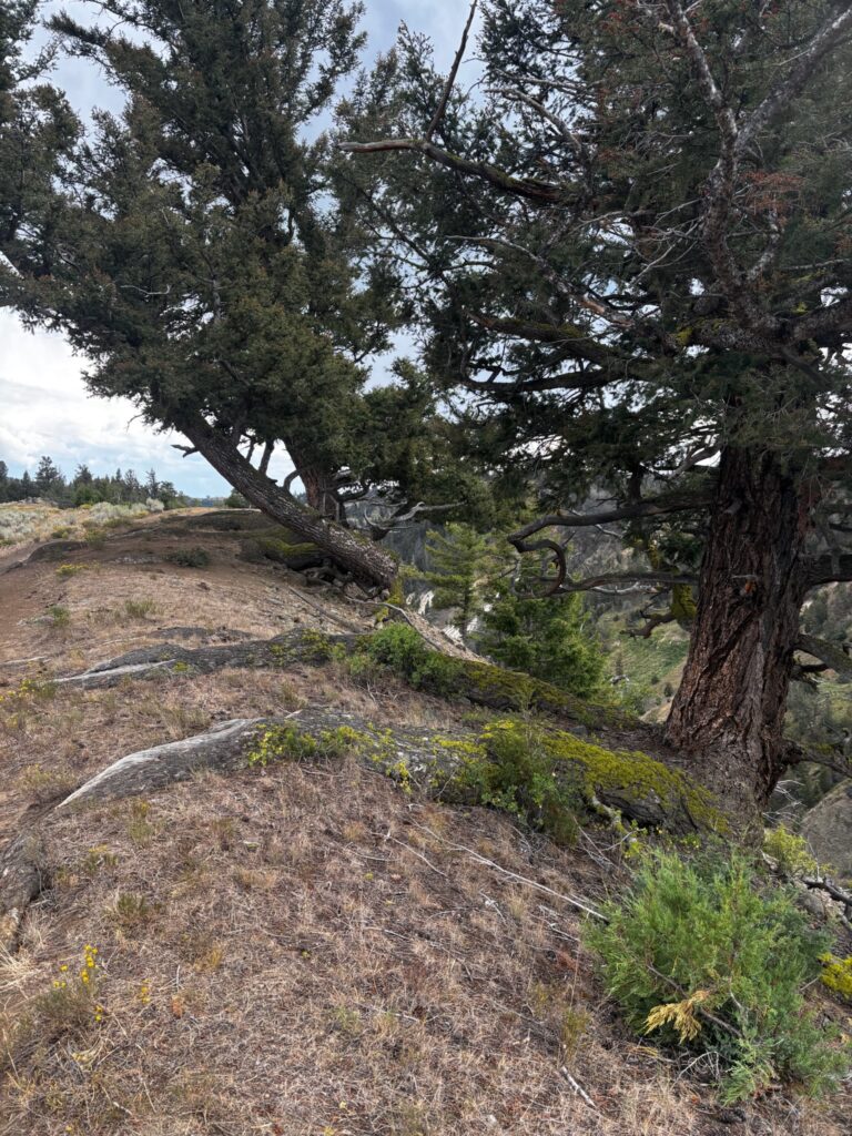
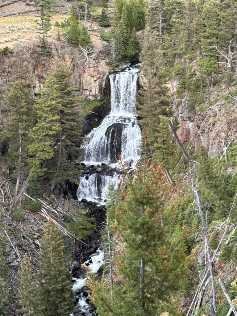
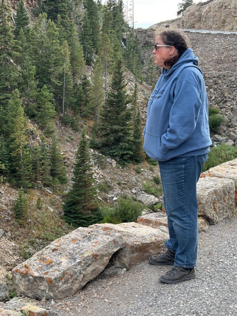
The only problem with this generally awesome hike was that, as we progressed, I started finding myself in increasingly urgent need of a bathroom. 😂 Because of this, we ended up turning around before we actually got to the end of the trail (thus also forgoing the option of taking the “other” way back). Nevertheless, the return hike still had a cool experience in store for us:
After I hurried on ahead to get to the outhouse, Emily took a couple more pictures.
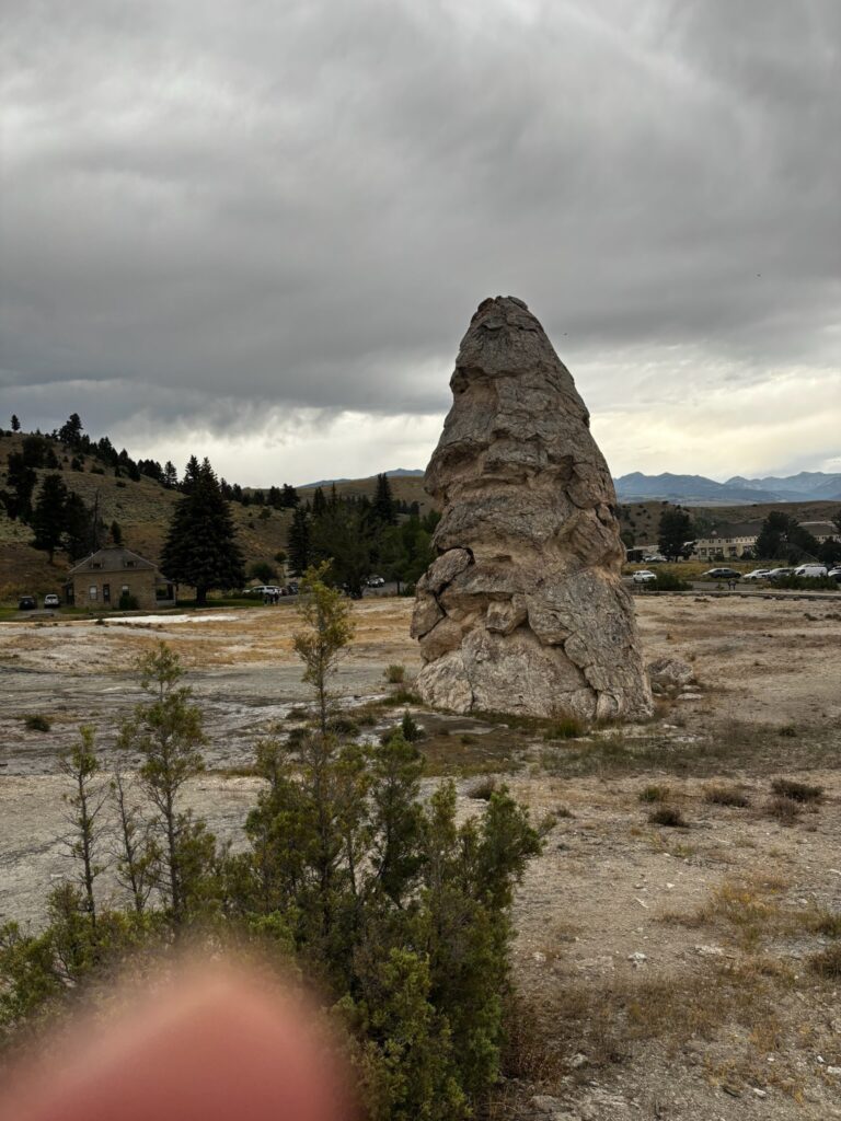
After this hike, we returned to the car and continued our way around the upper loop. There’s another trail up there that I had originally thought to possibly explore part of, but we decided to skip that and head for the Boiling River instead. This is a spot (north of Mammoth, near the north/main park entrance) where hot springs dump super-hot water into the very cold Gardner River; the hot and cold waters mix and produce hot-tub-like temps in a small contained area surrounded by rocks. I’ve only ever been there once (it’s another area that’s often closed during the first part of summer, for one thing), on my 2016 solo trip (in the evening, after I had gone whitewater rafting up in Gardiner during the day). Unfortunately, we did not end up getting to experience the Boiling River today/on this trip…but I’m getting ahead of myself. First, en route to Mammoth, we stopped to see the petrified tree (cool, but more conceptually than visually; we took no photos (though I’ve got at least one from a prior trip)); then, farther along the road from Tower to Mammoth, we pulled off at a turnout to admire a waterfall called Undine Falls. I’m pretty sure this was one view that I had never stopped to look at before, unlike the majority of the stuff that we did at Yellowstone.
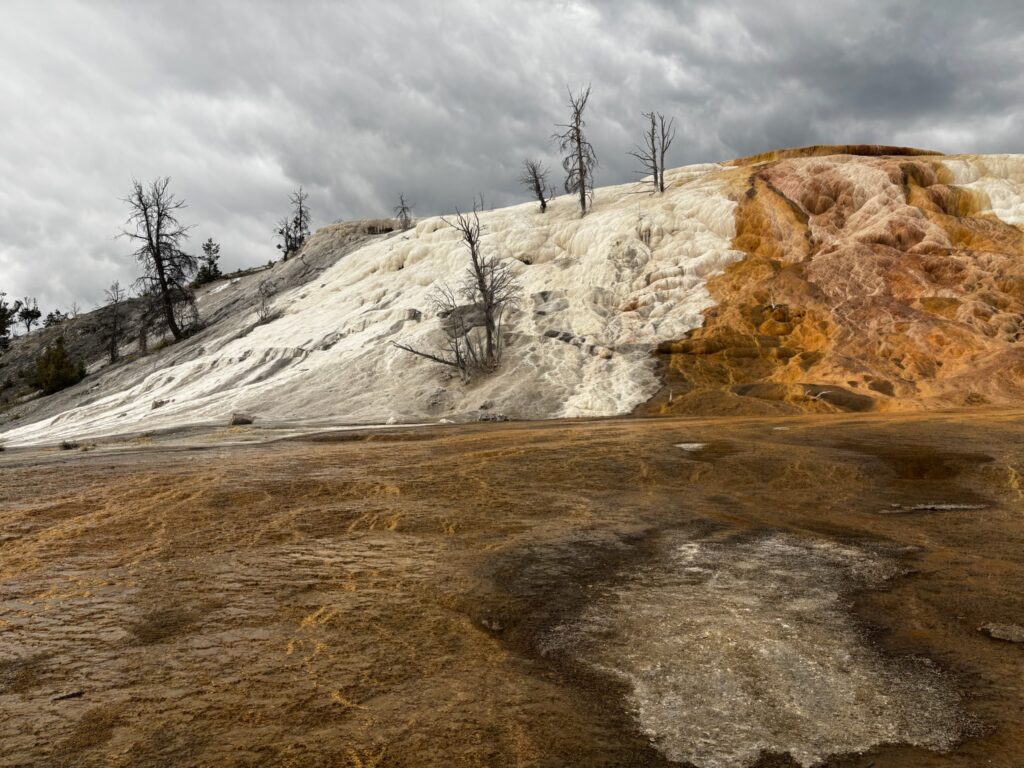
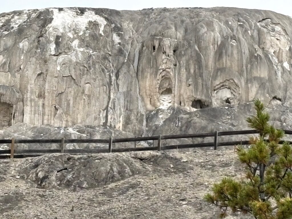
After passing through Mammoth, we drove all the way up to the north entrance (it’s not very far) without spotting the Boiling River parking area, which puzzled me, since I remember (and my trail book confirms) that it was located along this stretch of road. But then I vaguely remembered my brother Ted (who’d been out there at least once since my last trip) telling me that something had changed about the access to this spot after the massive flooding that wreaked havoc on the northwestern portion of the park in 2022. In fact, that flooding (I now know) wiped out whole sections of the north entrance road as I formerly knew it, and the road that exists now is actually just a temporary road (built by making improvements to an older road that had not been in use for some time). As we drove back to Mammoth, with Emily poking around on the internet via her phone and me trying to put observations together with vague memories, we did figure part of this out (though we imagined that what we were on was an entirely new road). The internet made it look like there was still a way to get to the Boiling River, but if that’s true, we were unable to figure it out. (I actually think we may simply have been getting directions that assumed the the old road still existed.) Anyway, we gave up on that and instead spent some time exploring the travertine (that is, Limestone!) terraces in the Mammoth area. Honestly, this is a part of the park that (limestone or no) I have never been quite as attached to as I am to most other parts. Jen and I did spend some time here in 2014 (and had also made a very brief stop on our way out of the park on our first trip, in 2009), but I’d pretty much given it a miss on every trip since (until now). That said, it’s not like there’s nothing cool or interesting to be seen there (though it appears that we didn’t get any good photos of the actual travertine terraces for which the area is best known)…
By the time we were done looking around here, it was not only cold and windy and rainy, but also getting kind of late. We were hungry, and we had a long drive ahead of us to get back to our campground…and Mammoth is the most “developed” area of the park; it’s an actual little community where park staff live and stuff, on top of its touristy nature (being located, after all, just south of the park’s main entrance). All this to say that there are restaurants, and we decided to dine at one. There’s both a fancy-ish sit-down type place and a more fast-food type option; we checked out the former first, but they were extremely busy, so rather than waiting for a table, we settled for the latter. Then, after dinner, we set off down the west side of the northern loop road toward “home.” Our travels for the day thus ended up consisting of a big oval around the entirely of the park’s two loop roads, omitting only the “connecting” segment in the middle that makes the loops into a kind of big figure 8. The last part of our drive back to the campground took us back through the geyser basin-y, Firehole Rirver-y areas that we had spent the previous two days in—but before that, there were the Mammoth to Norris and Norris to Madison stretches. This is an area that I spent more time in on my 2014 trip (again, the one that I remember the least well) than I have on any of my other visits to Yellowstone. I dimly remembered there being a cool spot along the Mammoth to Norris part of the drive where there was a turnout from which you could maybe see a waterfall and stuff (real specific, I know). When I thought I might be seeing what I was remembering, we pulled over. The spot is called “Golden Gate Canyon,” and there’s a sign there describing how building the road/bridge through it was one of the most difficult engineering challenges involved in the early era of building roads through the park.
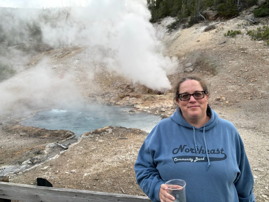
Farther down the road (now in the section between Norris and Madison), we stopped again to check out Beryl Spring—a lone thermal feature by the side of the road that was really pumping out a ton of steam. I remembered driving past it numerous times on previous trips, and in particular, I recalled how cool this and various other thermal features in the area were to drive past early in the morning on that 2014 trip (we stayed at Madison campground on that trip), when the morning’s cold would cause the steam to condense into fog. However, I’m fairly certain that I had never actually stopped at Beryl Spring before. Emily, especially, was really impressed by what we saw here; she had enjoyed all the other thermal features that we’d seen in the park, but this one was just steaming and bubbling like crazy—continuously, and very loudly! (Typically, one will see steam drifting lazily from a hot spring or fumarole; here, it was blasting out energetically.) She dubbed it one of the most awesome of the many weird, freaky symptoms of the subterranean volcanic activity that makes Yellowstone what it is (and I had to agree).
After Beryl Spring, we proceeded the rest of the way back to the campground with no further stops. It was already getting dark by the time we got “home,” so it was a good thing we had already dined—but even so, I was still a bit sad not to be grilling one final meal over a Yellowstone campfire. I was also, of course, a little sad to be nearing the end of our time at Yellowstone in general (we would hit the road for home the following morning), even though I knew that we still did have fun stuff ahead before the trip was completely over (Bear Tooth Pass, for one thing). In particular, though, I was thinking about the fact that I’m not sure whether or not there will be any more Yellowstone trips in my future at this point. As much as I love this place, I’ve now been there six different times as an adult, plus the brief visit on that boy scout trip at the age of 14…and I’m very much aware that the world is full of other awesome places that I have not yet seen even once. Indeed, while I would not trade any one of my Yellowstone trips for anything, it’s actually somewhat accidental that I’ve even ended up going as many times as I already have. (This trip was entirely “intentional,” because I was in love with the idea of getting to show Emily what I love about Yellowstone and experiencing it with her. But my previous two trips were both somewhat less so. In 2018, the big trip that I planned for myself was my trip to the Grand Canyon; I ended up (also) going to Yellowstone, later that same summer, only because my parents and my brother Carl and his family all decided to go, and they asked me if I wanted to come, too (and of course, I said yes!). And in 2021, I initially wanted to go to Glacier National Park, but opted for Yellowstone as a “fallback” option when it became apparent that I had not started planning early enough to secure a campsite at Glacier.) So…this final full day in the park for this trip had been a good day, and it had even ended up involving several sights/activities that I either had never seen/done before, or at least didn’t remember very well, which made it especially cool. I was satisfied with the day, and with the Yellowstone trip as a whole. But still, my mood upon returning to our campsite and hitting the sack on this night was somewhat bittersweet.